Project Name:

Consultancy Services for Feasibility Study and Detail Design of Swarighat Bridge (2nd Babubazar Bridge) on 10th KM of Gabtoli-Swarighat National Highway (N-530) under planning and Data Circle of Bridge Management Wing

Country:  Bangladesh
Project Duration: 07/2024 to Till Date
Description of Project:

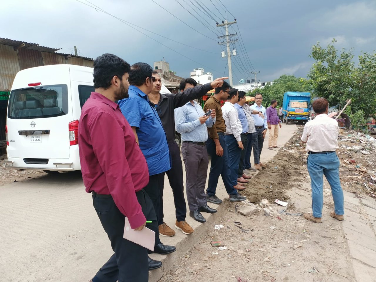
The Roads and Highways Department (RHD) has received government funding for the “Consultancy Services for Feasibility Study and Detailed Design of Swarighat Bridge (2nd Babubazar Bridge) on the Gabtoli-Swarighat National Highway (N-530),” under the Planning and Data Circle of the Bridge Management Wing. This project envisions constructing a state-of-the-art bridge over the Buriganga River, with an approximate total length of 3.0 km, including approach roads and viaducts on both sides. Situated on the alignment of the Dhaka Inner Circular Road, the 2nd Babubazar Bridge is critical for connecting the northern and southern regions via the Padma Bridge while bypassing central Dhaka. This bypass route aims to ease congestion by providing a direct north-south connection, supporting the city’s decongestion strategy and aligning with the national master plan.

Description of Actual Services Provided by Staff of this Firm in the Assignment:

Services included:

Topographic Survey

  • Conducting detailed topographic surveys to collection accurate geographical data of the project area.
  • Using modern surveying equipment and technologies to map the land features, elevations, and structures.

Data Collection and Analysis for Traffic Survey

  • Collection of traffic data to understand current and projected traffic volumes.
  • Analyzing traffic patterns and assessing the impact of the proposed bridge on traffic flow.

Data Collection and Analysis for Socio-Economic Survey

  • Collection of socio-economic data to evaluate the impact of the bridge on local communities.
  • Analyzing demographic, economic, and social factors to inform the design and planning process.

Data Collection and Analysis for Environmental Survey (EIA) and Process for DOE Clearance

  • Collection data on environmental quality and ecological data to establish baseline condition.
  • Preparing documentation and obtaining Site Clearance Certificate (SCC) from the Department of Environment (DOE).

Data Collection and Analysis for Land Acquisition Survey (LAP)

  • Identifying land parcels required for the bridge construction.
  • Assessing the legal status, ownership, and valuation of the land.
  • Facilitating the land acquisition process by coordinating with relevant authorities and stakeholders.

Data Collection and Analysis for Resettlement Action Plan (RAP) Survey

  • Conducting surveys to identify affected persons and properties.
  • Ensuring compliance with national and international resettlement standards.

Video Data Collection (Drone Video)

  • Using drones to capture high-resolution video footage of the project area.
  • Analyzing drone footage to supplement topographic and other survey data.
  • Providing visual documentation for planning and design purposes

Report

  • Environmental Impact Assessment (EIA) & obtaining Site Clearance Certificate (SCC) from the DoE,
  • Social Impact Assessment (SIA),
  • Land Acquiaition Plan (LAP),
  • Resettlement Action Plan (RAP),
  • Video Survey (Drone)
  • Traffic Study
  • Topographic Survey,


Leave a Reply

Your email address will not be published. Required fields are marked *