| Project Name:
1. Environmental Survey and Laboratory Services Under Main Contract Feasibility Study and Preliminary Design for Construction of Subway in Dhaka City of Bangladesh. 2. Mouza Map Georeferencing & Digitization Services under “Consultancy Services for Feasibility Study and Preliminary Design for Construction of Subway in Dhaka City of Bangladesh”. 3. TOPOGRAPHIC WORKS” under main Contract “Consultancy Services for Feasibility Study and Preliminary Design for Construction of Subway in Dhaka City of Bangladesh.” |
| Country: Bangladesh |
| Project Duration: 12/2020 to 02/2021 |
| Description of Project
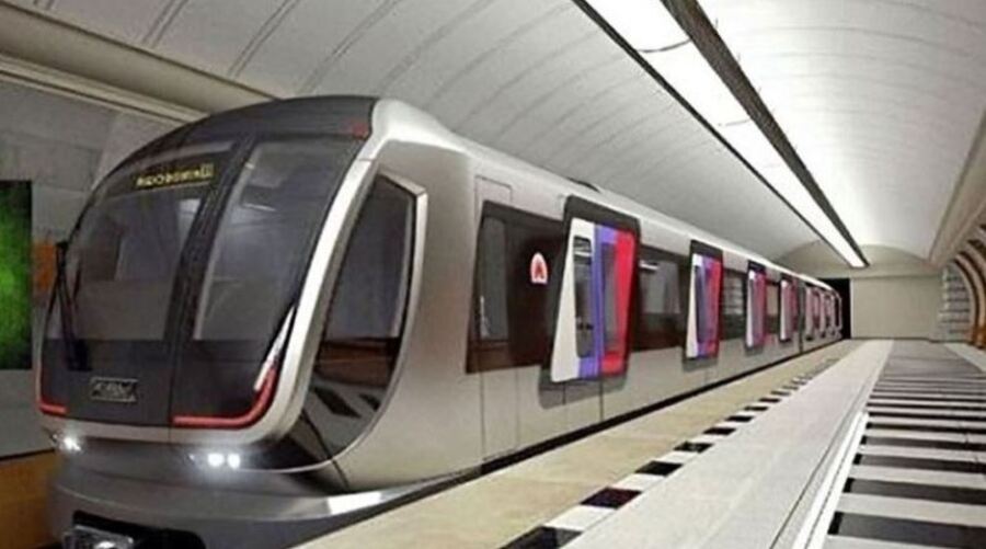
The Government of Bangladesh (GOB) has planned to construct a subway (underground metro rail) system, to be known as the Dhaka Subway, to complement and expand this system and to improve the transport potential offered by the existing MRT and BRT routes. To this end, TYPSA (TÉCNICA Y PROYECTOS, S.A.) has been engaged by the Bangladesh Bridge Authority (BBA) to provide “Consultancy Services for the Feasibility Study and Preliminary Design for the Construction of the Dhaka Subway, Bangladesh. |
| Description of Actual Services Provided by Staff of this Firm in the Assignment:
§ Carry out sampling and testing activities for environmental quality monitoring. § Conduct ambient air quality monitoring at twenty (20) locations. § Carry out ambient noise level measurement at twenty (20) locations both during day and night-time. § Collection of Surface water samples at twenty-five (25) locations and carry out testing of defined. § Collection of groundwater samples at twenty (20) locations and carry out testing of defined. § Collection of soil samples at thirty (30) locations and carry out. § Environmental quality test report Preparation. § Collection and Scanning of Mouza Maps § Selection and Establishment of Ground Control Points (Tic) on Mouza Maps § Ground Control Points (GCPs) Survey § Updating Tics § Geo-referencing of Mouza Maps § Joining and Edge Matching of Mouza Maps § Parameters and Samplings § Digitization of Mouza Maps § The topographical survey of 122 shafts and 7 depots and their connection lines. It is expected that a buffer area of approximately 75 X 75m will have to be surveyed, per subway shaft location. The topographic survey of seven connection lines to the depots. Cross sections will be defined every 100 meters and the width of the cross sections shall be 25m the left and right, either side from the existing centerline. The points taken shall define the properly the ground and all the utilities (buildings, channels, etc.). Boundary of the depots and a number of points will be surveyed (at least 30 points must be obtained to cover all the area). § Topographic Survey § Physical Feature Survey § Cross Sections § Spot Elevation Survey § Intersection Surveys § Bridge/Flyover Site Survey § Utility Survey DSCL shall collect all the existing utility features within the survey buffer areas, including the following: · Underground electric line (if possible). · Electric pole and transformer point data. · Gas line (if visible). · Gas line valve. · Telephone box etc. |

