| Project Name:
Consultancy Services for Environmental Assessment, GIS Mapping, and Consultations Services for Feasibility Study, Detailed Design and Tendering Support of Technical Assistance for Subregional Transport Project Preparatory Facility (SRTPPF-II) Project Length [km] / Lanes: 594km; Pavement Type: bituminous (or asphalt); Bridges / Box Culverts: approximate 200 |
| Country: Bangladesh |
| Project Duration: 04/2019 to 08/2019 |
| Description of Project:
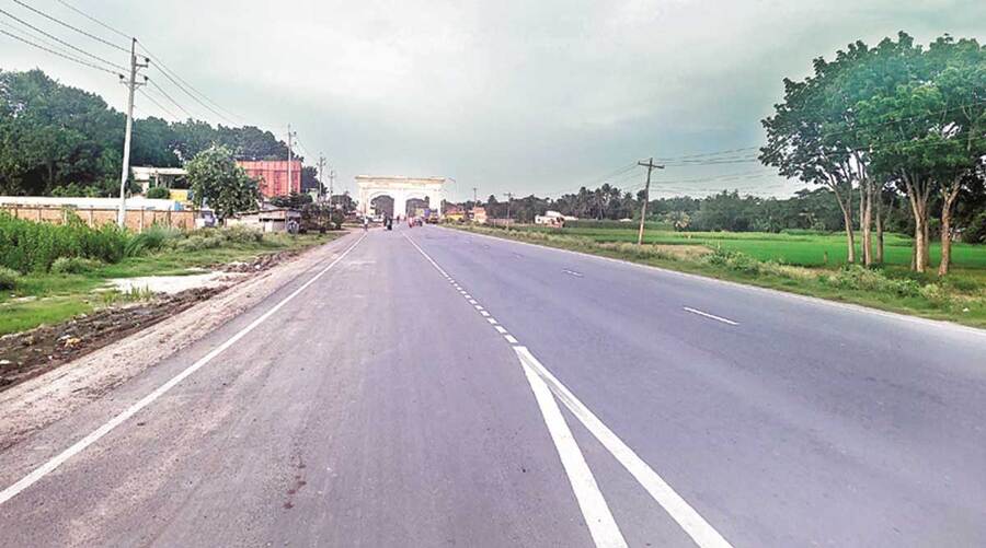
The road development project under Subregional Transport Project Preparatory Facility (SRTPPF-II) funded by ADB covers a vast area of Bangladesh. The following seven road corridors (590KM) have been prioritized for improvement: Bhanga- Bhatiapara- Kalna- Lohagara-Narail-Jesseore-Benapole Road (135Km). Rangpur – Sayedpur-Thakurgaon-Banglabandha Road (172KM). Bonpara – Ishwardi – Pakshy – Kushtia – Jhenaidah Road (105Km). Sylhet-Charkhai-Sheola-Sutarkandi Road (46KM). Chittagong Port Access Road (14KM). Nabinagar- Paturia Road (58KM); and Paglapir (Rangpur) – Dalia- Borokhata Road (60KM). Development Solutions Consultant Limited (DSCL) has been engaged by Hifab International AB to conduct environmental quality test, GIS maps preparation and to organize public consultation for the Project roads. |
| Description of Actual Services Provided by Staff of this Firm in the Assignment:
Scope of Services included – Environmental Quality Test: A detailed field survey and quality test was conducted by DSCL personnel. The salient features of the field survey were as follows: 19 number of Ambient Air Quality: CO, O3, SOx, NOx, PM10, PM2.5, Temperature, Humidity, Wind Speed and Wind Direction; 37 number of Noise level Measurement (B Day & Night Time); 23 number of Vibration Level Measurement; 23 number of Surface Water Quality (Temperature, Turbidity, pH, EC, TDS, TSS, DO, Biochemical BOD, Total Phosphate, ORP and Oil & Grease); 18 number of Groundwater Quality (pH, Temperature, EC, ORP, TDS, Cl-, As, Fe, Mn, S); 25 number of Riverbed Sediment Quality (Organic Matter, P, S, Al, Cd, Cr and Fe); 25 number of Benthos Test; 25 number of Plankton Test.
GIS Mapping: 57 GIS maps were prepared and included in the survey/quality assessment report. Maps were typically included: Map showing location of sampling transects and spots for any samples or field collection, etc. and Map showing environmental features/land use map throughout the alignment limited to 100 m either side of the defined highway alignment. Public Consultation: The local people may be affected both positively and negatively by the implementation of the project. To know their valuable opinions or objections (if any) about the project, total 23 consultations were arranged along the project road. The participants were people from both genders. |

