| Description of Project:
The Government of Bangladesh (the Government) has received a loan from Asian Development Bank (ADB Loan 2688-BAN) for the “Technical Assistance for Sub-regional Road Transport Project Preparatory Facility” Project under Roads and Highways Department (RHD), and SMEC International Pty Ltd. is awarded as International Consultant for the Project.
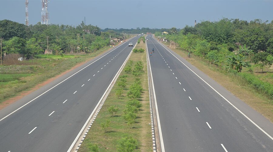
The Government of Bangladesh is emphasizing on improved connectivity between each part of the country. In line with this objective the GOB announced its National Land Transport Policy in 2004 defining long term (20 years) Road Master Plan (RMP). The RMP has identified many feasible and priority projects. One of priority roads identified is the Elenga-Hatikamrul and Hatikamrul-Rangpur Road sections (approximately 200 km). This road is a vital link in the national highway network and forms a part of the Asian Highway Network complementing the government plans to increase trade with India. The project will upgrade the road to a four-lane road with safety features, dedicated SMVT lane, flyovers at business junctions, and overpasses at some intersections.
Development Solutions Consultant Limited (DSCL) has been engaged by SMEC International Pty Ltd. to conduct noise modeling, GIS maps preparation and to organize Focus Group Discussions (FGDs) for the Project roads.
Description of Actual Services Provided by Staff of this Firm in the Assignment:
Scope of Services included –
Field Survey: A detailed field survey was conducted by DSCL personnel. The salient features of the field survey were as follows:
The field survey in an opportunistic manner was conducted all along the project area covering 200 m buffer zone (100 m each side of the proposed centreline) on each side of the proposed four lane highway; The survey was carried out once within the project period; During field survey observations were collected on important sensitive receptors, such as educational institutions (Kindergarten, school, madrasa, college, university etc.), hospitals, community centre, mosque, temple, church and other important religious structure, disable/ autistics people care centre, orphanage, residential centre etc.
Noise Modeling: Noise levels may increase during operation of the highway due to increased traffic activities. Prediction of noise levels has been done by using software for along the entire alignment covering 100 m either side from the centerline of the highway. The sensitive receptors and noise sources within 100 m either side from the centerline were identified by conducting a survey. A noise contour map was prepared as output with interpretation of the model.
GIS Mapping: GIS maps were prepared and included in the survey/quality assessment report. Maps were typically included: Map showing location of sampling transects and spots for any samples or field collection, etc. and Map showing environmental features/land use map throughout the alignment limited to 100 m either side of the defined highway alignment.
Focus Group Discussion (FGD): The local people may be affected both positively and negatively by the implementation of the project. In order to know their valuable opinions or objections (if any) about the project, a number of focus group discussions (FGD) were arranged along the project road. The participants were people from both genders. |
